
FAA source data
Airport records, straight from NASR
Runway geometry, declared distances, displaced thresholds, lighting, frequencies, and facility status — normalised, geo-referenced, and re-cut every 28-day AIRAC cycle.
The authoritative platform for FAA airport data, Part 77 airspace obstruction analysis, and open airport data APIs built for aviation professionals, developers, and flight operations teams.
FAA source data
Runway geometry, declared distances, displaced thresholds, lighting, frequencies, and facility status — normalised, geo-referenced, and re-cut every 28-day AIRAC cycle.
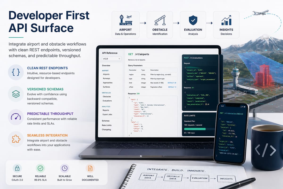
Versioned REST endpoints with JSON and GeoJSON responses.
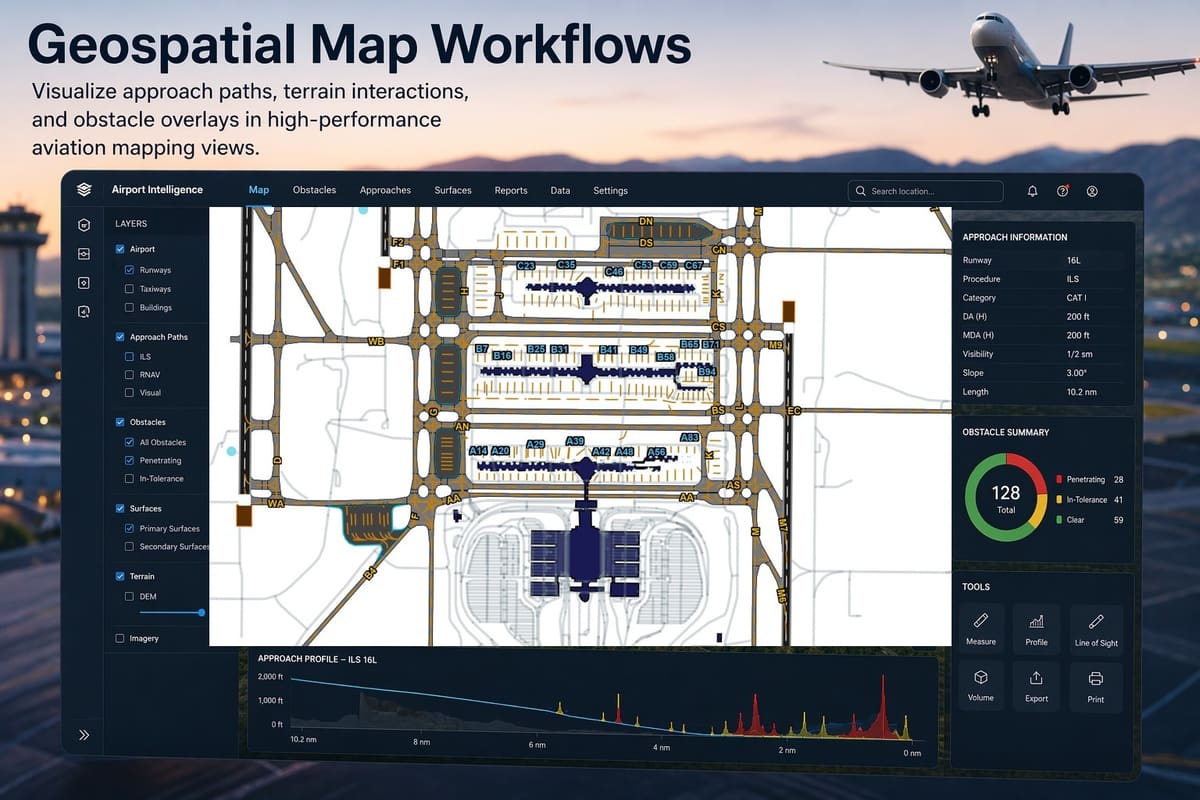
Approach paths, terrain interactions, and obstacle overlays.
14 CFR Part 77
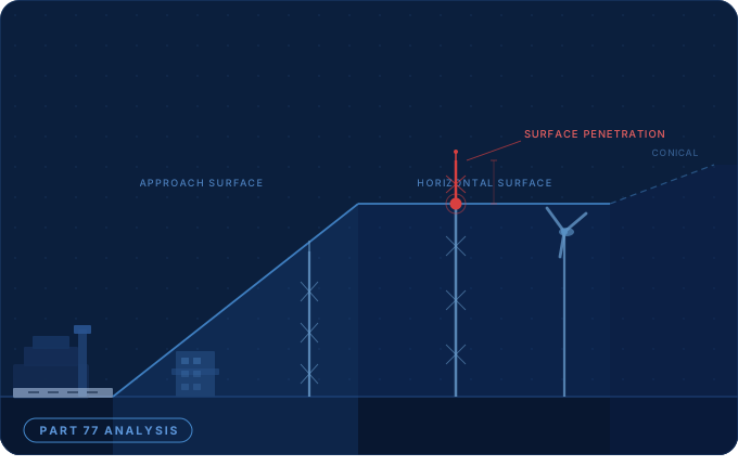
Part 77 defines the airspace around an airport as a set of imaginary surfaces. A structure that exceeds one of them triggers an FAA notification requirement. Every CurvAero analysis computes all five from the airport's own published geometry and reports the penetration depth against each.
Four products covering the full lifecycle of aviation site development, operations, and data delivery.
Part 77 obstruction evaluation, RF line-of-sight analysis, FAA 7460-1 filing intelligence, and multi-criteria site qualification.
Learn moreFlight plan creation, geofence management, fleet tracking, BVLOS corridor compliance, and real-time airspace awareness.
Learn moreAIRAC data packages in multiple formats, airport visualization, RESTful API access, and EFB integration feeds.
Learn moreCustom deployment, white-label branding, SSO and custom integrations, contractual SLAs, and volume licensing.
Learn moreWe source directly from FAA datasets — NASR, DOF, and 5010 — and deliver them through a modern REST API with 28-day AIRAC cycle updates.
FAA NASR, DOF, and 5010 datasets are automatically fetched and validated each AIRAC cycle.
Raw government data is cleaned, geo-referenced, and structured into standardized schemas.
Access via REST API, GeoJSON exports, or interactive map visualizations with sub-second latency.
Get in touch to learn how CurvAero can support your aviation operations.